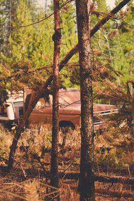
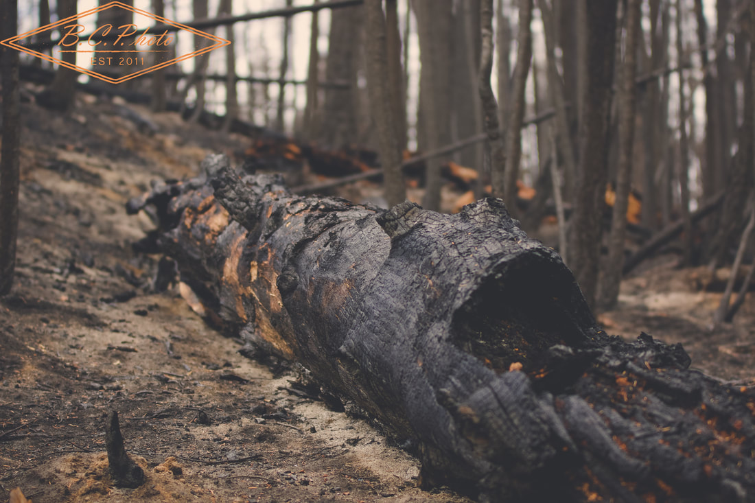
 I had the opportunity to head north into the southern portion of the Cariboo, over the Thanksgiving weekend, to witness first hand the devastation that this year's wildfires brought to the region. The government of BC declared a state of emergency on July 7th, 2017, only expiring on September 15th. For over two months, the Cariboo Regional District and the Thompson Nicola Regional District were plagued by fires both human and lightening caused. Other areas of the province such as the Kootneys and the Fraser Valley, were hit with wildfires as well. 2017 marked the province's worst wildfire season since 1958, with houses, livestock, buildings and other valuables destroyed in the monstrous flames. As I wandered through some of the Crown range around 70 Mile House, where the northern tip of the Elephant Hill fire licked, it looked as if you were walking through a war zone or on some far off planet where minor amounts of life could emerge. With trees burnt to a crisp, dirt still smouldering, it was hard to believe that only 3 months ago this land was green and full of life. This devastation will be felt for years, as forests regrow and communities rebuild, in an effect to move forward and continue life in this great province. I'm glad I had the opportunity to spend some time wandering through the devastation, gaining better perspective of the effects the wildfires caused. As all good photojournalists aspire for, through the use of images captured, I hope others who were not affected can begin to better understand the devastation of 2017's wildfires. More images can be viewed here.
0 Comments
Leave a Reply. |
"A camera is a tool to teach you how to see without a camera."
-Dorothea Lange Archives
April 2022
Categories
All
|


 RSS Feed
